Geography
Greenland
Greenland is the world’s largest island. The country consists of a total area in excess of 2.000.000 km2. In other words, the country is larger than France, Germany, Spain, Great Britain, and Italy put together. More than 80 percent of Greenland is covered by a layer of ice – the ice cap – reaching a thickness of up to 3,000 meters. Approx. 56,000 people live in Greenland, 15,000 of whom live in Nuuk, the capital. The rest is distributed between the country’s 18 cities and 60 settlements. None of the country’s cities or settlements are connected by roads. The majority of the country’s population is Inuit. The language is Greenlandic.
The World Heritage Area Ilulissat Icefjord
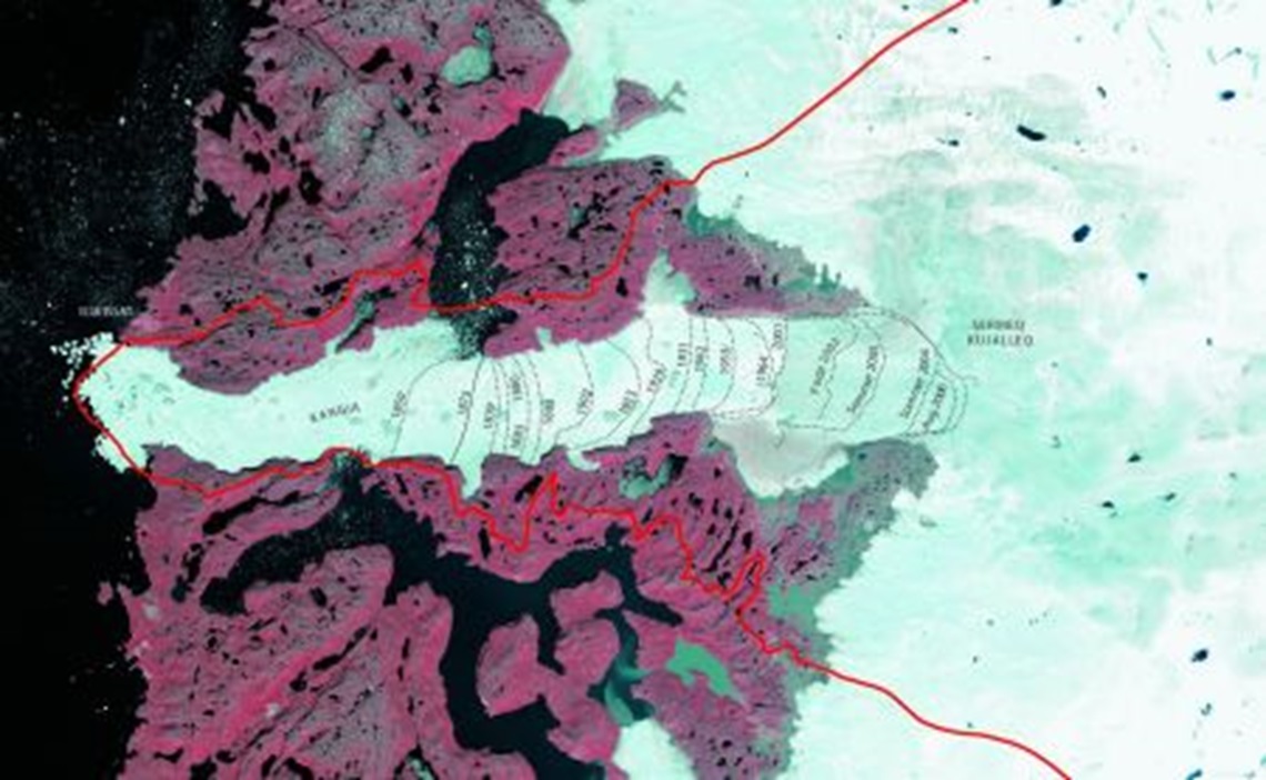
The World Heritage Area Ilulissat Icefjord is positioned approx. 69 degrees north on the west coast of Greenland. To the west the Icefjord falls into the Disko Bay, and to the east it reaches into the Greenlandic ice cap. Ilulissat is the closest city (approx. 5,000 inhabitants). It is a couple of kilometers north of the mouth of the Icefjord. Furthermore, there are two smaller settlements in the area: Ilimanaq with around 80 inhabitants and Oqaatsut with approx. 40 inhabitants.
Demarcation
In the World Heritage Area the demarcation is based on the watershed. It demarcates the area from which water is drained to the Icefjord. Towards the east the area’s border follows the equilibrium line of the ice cap. This is the point where the snowfall and the melt water even out on an annual basis. This line is located approx. at the 1200 meter contour line. Towards the west the area is demarcated by the iceberg bank.

Fjord, Mountain, and Ice
The World Heritage Area covers a landmass of around 4,024 km2 (1545 square miles). The larger part by far is covered with ice and less than twenty percent is ice-free country, fjords, and lakes. The ice-free land of the World Heritage Area is characterized by large expanses of flat meadows, many small lakes, and mountains reaching heights of up to 500 meters above sea level.

